Preserving the past and heritage of this wonderful village at the heart of the New Forest
Maps
Brockenhurst has changed and evolved, and maps through the ages reflect these changes.

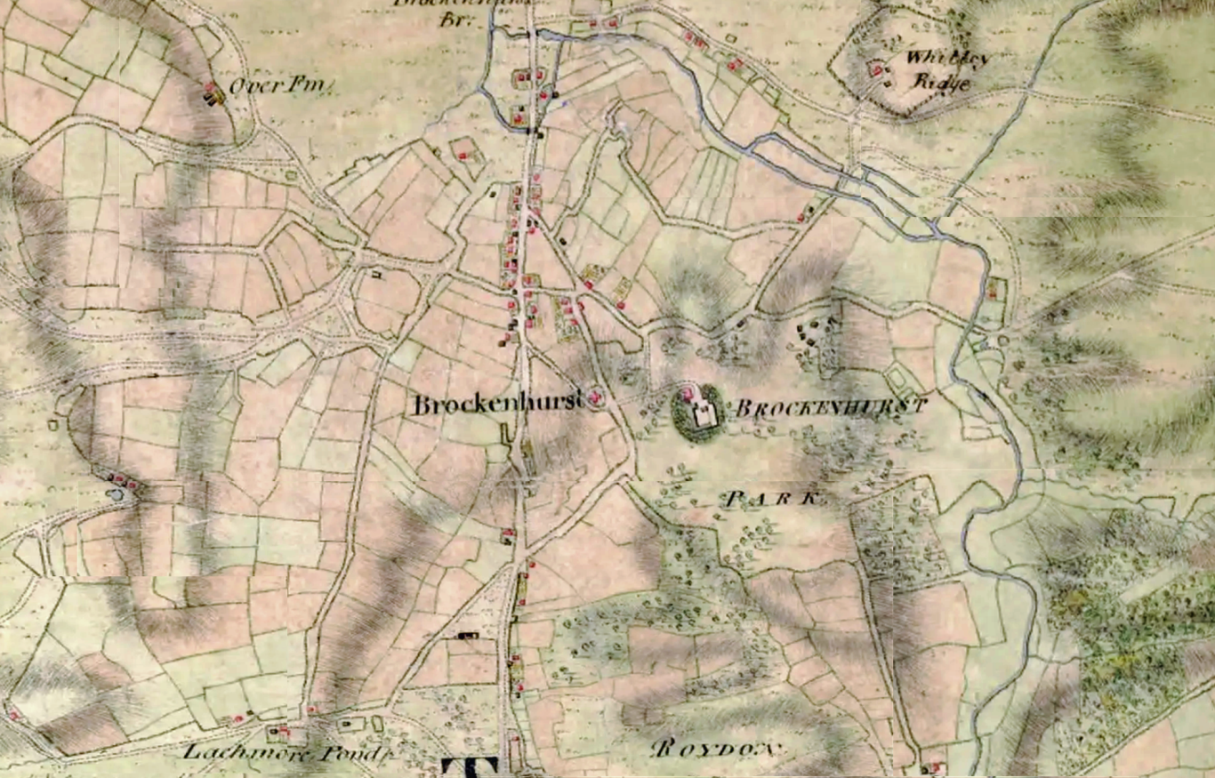
Attributed to J. Cary. Detail of a map of Christchurch. 1795-97.
This map shows detail of Brockenhurst, concentrated around the Lyndhurst Road. But basic details such as the layout of future routes (such as Rhinefield Road) are clear some 230 years ago. The river around Balmer Lawn already shows signs of drainage.

Driver, Richardson and King pub. 1809
This map, commissioned by The Commissioner of Land Revenues was surveyed in the 1790s. Brokenhurst Park is prominent, with a court house presided over by Edward Morant. The Rose and Crown Inn (The Huntsman) is also shown.

Ordnance Survey by Edward Stanford. 1852
The most significant change is the railway, and with it development around the level crossing. The rail line at the bottom splits to Ringwood and onward, and to Lymington. At this time there was no rail to Bournemouth. The present village is largely fields.

Ordnance Survey. 1910
Roads have started to infill to the south of Wide Lane (now Sway Road). On the north of the village, Rhinefield Road now has the Forest Park Hotel and surrounding tracks with expensive houses being built for gentry moving to the village.
© Website copyright David Bennett and Brockenhurst Heritage 2025. All rights reserved.
We need your consent to load the translations
We use a third-party service to translate the website content that may collect data about your activity. Please review the details in the privacy policy and accept the service to view the translations.